|
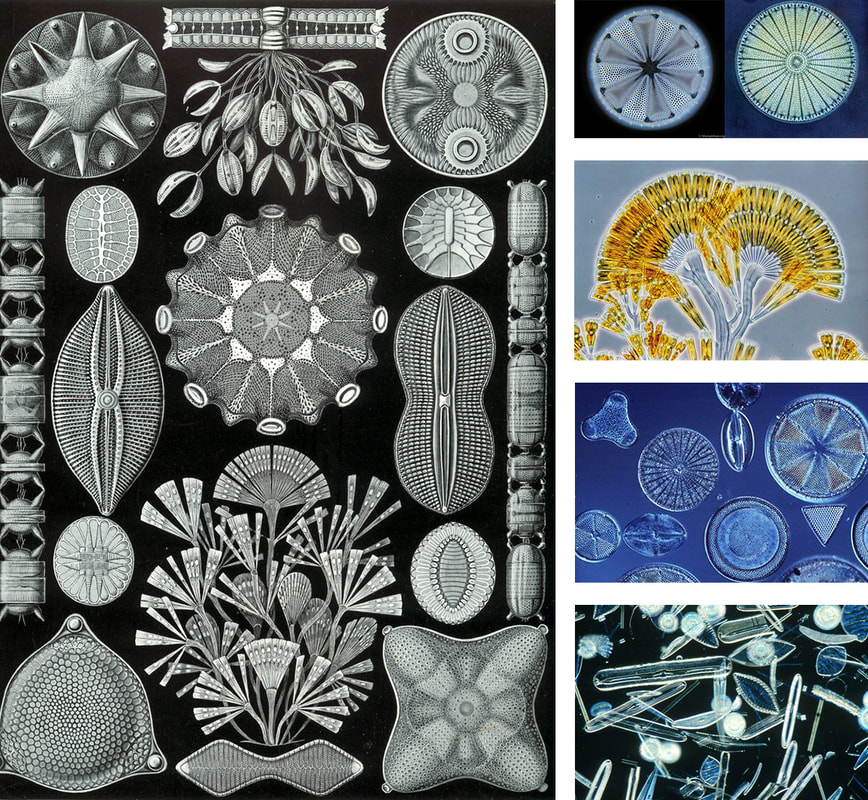
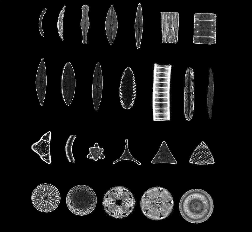
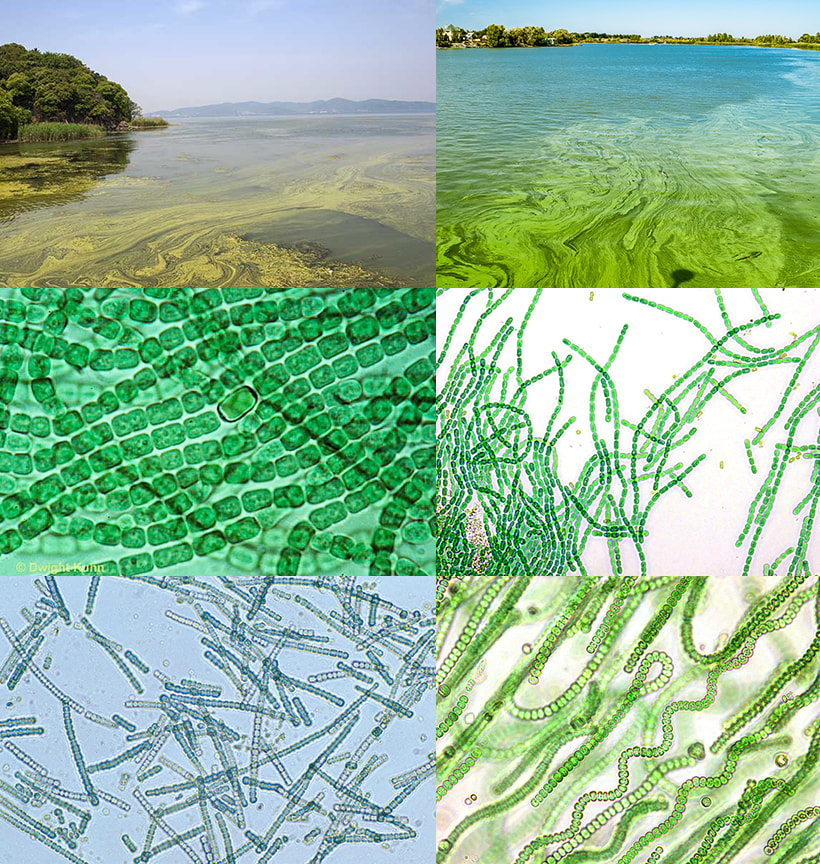
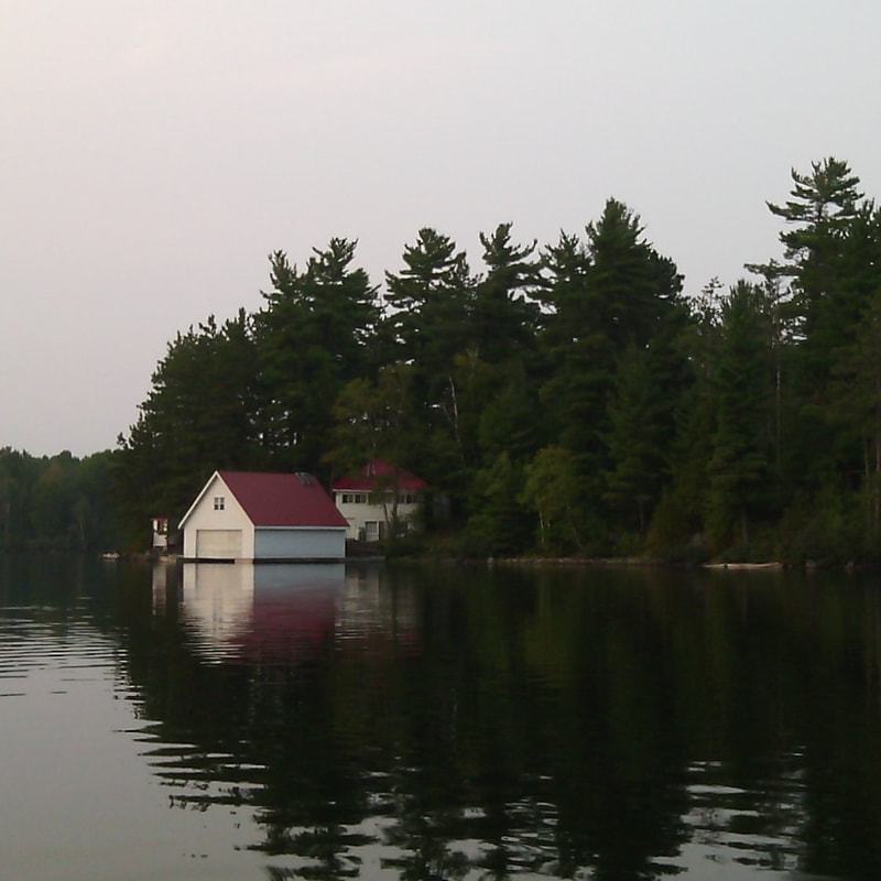
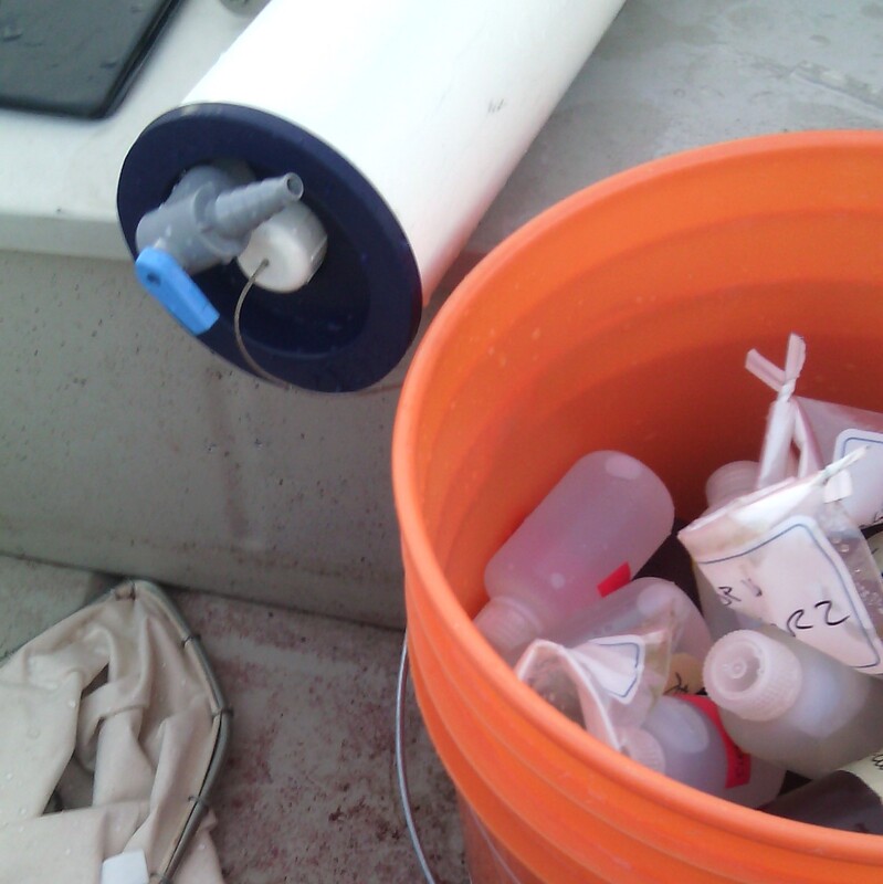
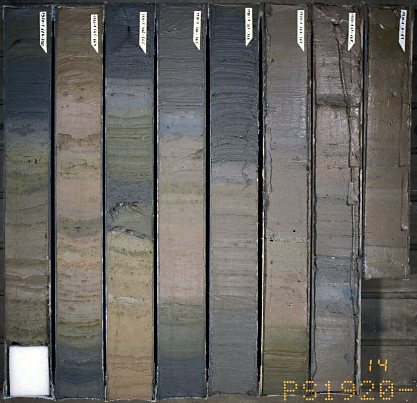
Tali I am still in the collecting/observing/absorbing phase of this project. Last week, Oscar walked me through the different types of algae found in the lakes he and his team study, explaining how the prevalence of each algae changes as lakes go through the process of browning. I was as interested in how we described the forms and colors of the algae as I was in their relationship to climate change, health, and lake browning. Oscar described diatoms as the most beautiful algae in the world. Indeed, a search online returns hundreds of beautiful images, drawings, and artworks inspired by these algae. They are “good” algae because they are high in fatty acids, making them important to the food chain and human health. These beautiful, important, microscopic creatures also happen to be particularly vulnerable to warming and ocean acidification. While, he reminded me, a diversity of algae in a lake is better for the food chain, and any one type of algae growing too much can be a problem, in browning, one tends to see a shift from diatoms in the healthiest lakes to cyanobacteria and then chrysophytes in browner lakes. Chrysophytes are also known as golden algae and look a bit like branches under the microscope. Cyanobacteria, also known as blue-green algae and described as resembling pearl necklaces, produce powerful toxins. As water warms due to climate change, these algae increase creating blooms on the surface of water which are harmful to human and non-human animals. While I am still exploring and absorbing new information, I have to remind myself that developing a new project and figuring out how to integrate webs of information can take time. I am grateful for how generous Oscar is with his knowledge and am enjoying this process of learning about issues I have been interested in for years though a new lens. Oscar The reflection of trees and clouds on the surface of a lake is just a reflection of what lakes are, and how lakes function. Atmospheric changes (like increasing temperatures, nitrogen deposition, or acid rain) have the capacity to alter functioning and life on terrestrial and aquatic ecosystems; and, in turn, changes in terrestrial ecosystems (for example, changing land cover, forest fires, agricultural and industrial practices), subsequently affect aquatic systems. The connectivity of lakes to surrounding systems makes them respond rapidly to any alterations in the landscape. This vulnerability translates into lakes functioning as early-warning signals of large-scale changes, or sentinels of change. Lakes are layered, and are definitely more than what we can see on their surface. In temperate latitudes, lakes typically respond to seasonal temperature changes by stratifying during the summer months. This stratification process results into two water layers: an upper warm and illuminated water layer where most organisms live and photosynthesis tends to dominate, and a deeper cool and dark water layer where bacterial degradation of dying biomass dominates. By monitoring the physical, chemical, and biological conditions of these layers we can understand how lakes are functioning, and how they are reacting to atmospheric and terrestrial changes. Lakes are more than the water and organisms living in them. Below the water column, mineral and organic particles are deposited on the lake bottom conforming a series of sediment layers where the upper layers contain the most recent sediments and they get ‘older’ with depth. Among these particles, we find pollen, charcoal, remnants of algae, crustaceans, and mollusks (among many other indicators of change). These sediment layers are used to understand past changes in atmospheric, terrestrial, and aquatic changes (the same way that the study of air trapped in bubbles in ice cores tell us about past atmospheric conditions - which Tali mentioned in her post a couple of weeks ago). Lake sediments keep record of how lakes were born, how they evolved; they keep record of changes in the atmosphere, and forest fires; they tell us about human settlement, colonization, forestry and agricultural practices. The combination of landscape characteristics, water quality, and sediment records can tell us about the historical evolution and current state of nature. In our last conversation, Tali and I talked about how we can integrate information in all these scales and the different approaches we can take to combining this information. The same way that scientists repurposed the data in ice records collected for centuries by the priests in Lake Suwa, Tali noted patterns in the different types of data recorded from my study lakes, giving new (?) meanings to this information (or, at least, highlighting different aspects). The depth maps of lakes (some of them hand drawn decades ago) resembled the shapes of the lake algae in pictures taken using microscopy techniques; which could also be compared to the watershed maps generated through geographic information systems using landscape elevation maps. We went through these different types of information while talking about photos I took of our lakes and how I remembered them, and how these could be integrated with the data in a single picture; the same way than a lake integrates information in its landscape, water, and sediments.
In the past, Tali noticed commonalities in our work, and through our conversations, we can keep adding more items to this list of commonalities or, (how I like to look at them) guidelines or considerations to SciArt collaborations to explore and explain change: (1) our work is shaped by constraints, and because (2) it’s all about relationships, (3) our techniques should allow for the integration of many scales, including (4) adding dimensionality to integrate facts and perceptions (which generates empathy relationships between authors and audience to amplify the message). I am really enjoying this learning experience and hoping that we keep on adding more items to this list.
0 Comments
Leave a Reply. |

